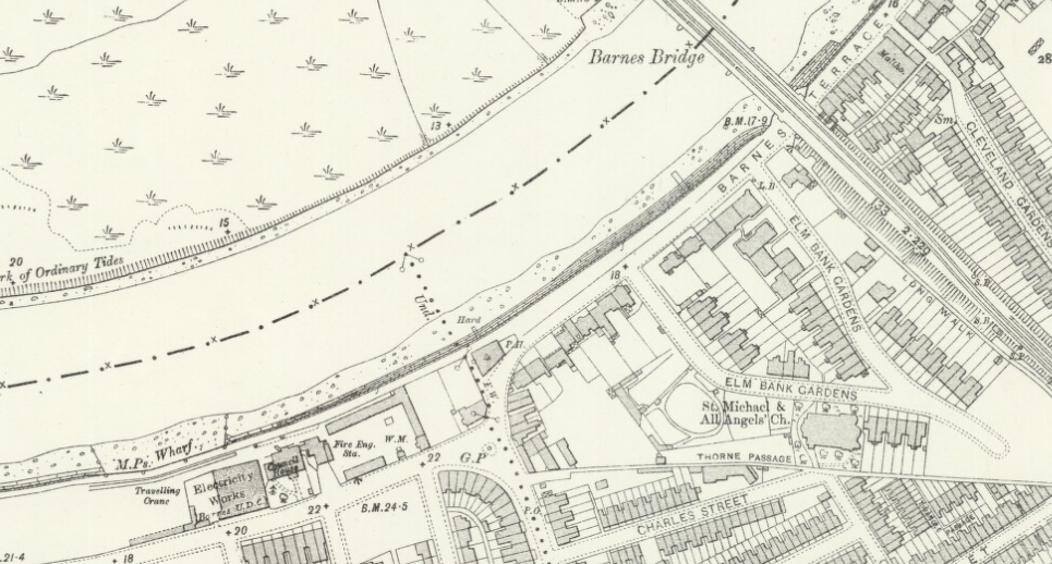
Ordnance Survey map, 1910, showing White Hart Lane and Barnes Terrace, Surrey, reproduced with the permission of the National Library of Scotland
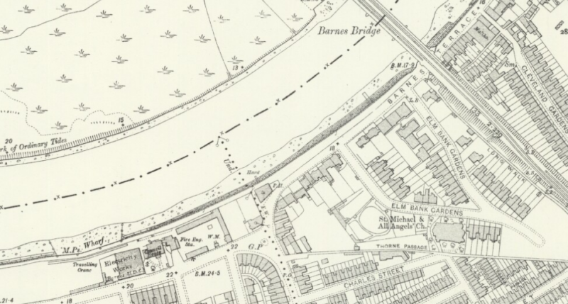
Ordnance Survey map, 1910, showing White Hart Lane and Barnes Terrace, Surrey, reproduced with the permission of the National Library of Scotland